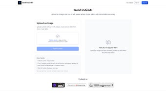
Accurate Location Detection with GeoFinderAI
GeoFinderAI is an innovative web application that utilizes AI technology to accurately determine the geographic location of images. By analyzing various elements such as landscapes and architecture, the tool can process a variety of image formats including JPEG, PNG, and GIF, with a maximum size of 10MB. After analyzing an uploaded image, it provides users with the estimated geographic coordinates along with a confidence radius displayed on a digital map. This feature enhances the reliability of the location prediction, making it a valuable tool for users needing to verify locations from photographic content.
The application operates on a token-based system, offering new users an initial set of free analyses, after which further usage requires the purchase of tokens. This ensures sustainable performance and availability for users. GeoFinderAI is continuously evolving, with features highlighted on platforms such as Dang.ai and Startup Fame, positioning itself as a useful resource for those interested in geographic image analysis.


